3rd May 2010
We began our morning with a breakfast of eggs overlooking the beach and watching the local vilagers collect seaweed on the incoming tide.
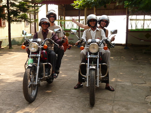
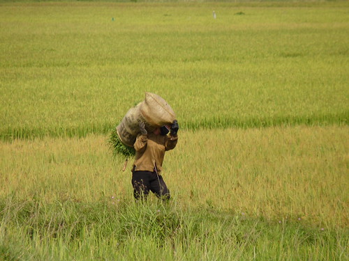
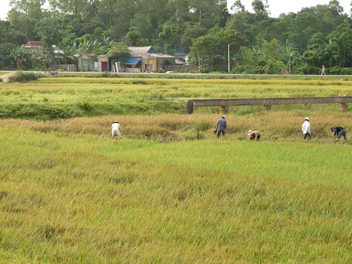
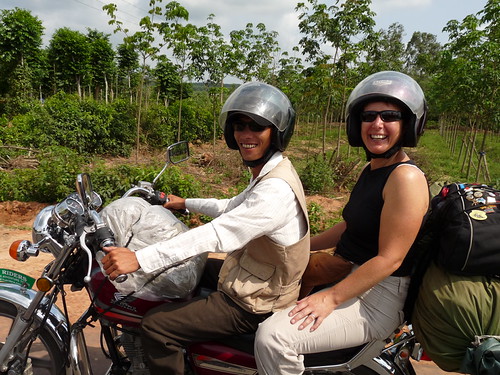
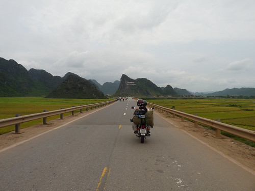
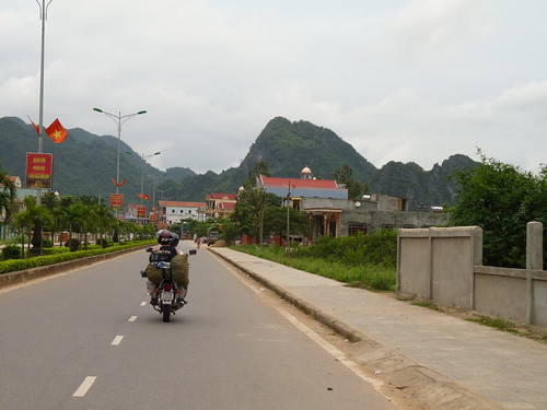
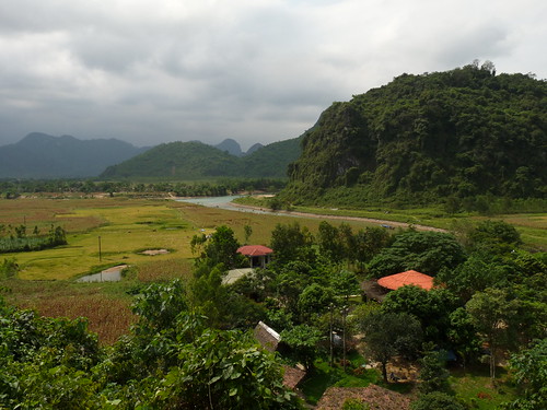
It was then back on the bikes for the next leg of our trip. We started through similar scenery to yesterday, rice paddies on all sides, busy with the harvest followed by forested areas and rubber plantations.
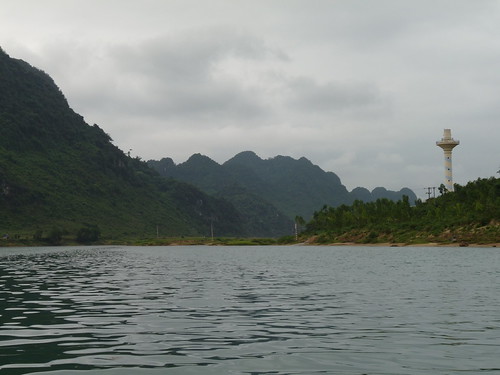
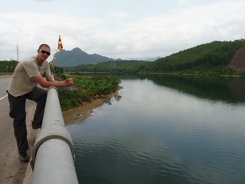
After a few comfort breaks along the way we stopped at a bridge crossing a river. From here we were able to see right down the river to the coast. This was in fact the narrowest part of the country, a mere 40km from the Laos border.
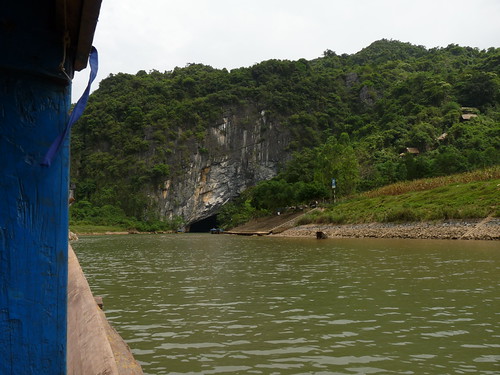
Back on the road the scenery began to change dramtically. We left behind the flat plains and began to see large limestone cliffs covered in green forests rising up on both sides like a sort of Halong Bay on land.
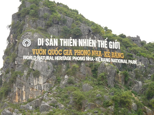
We were entering the Phong Nha - Ke Bong National Park. This park was designated a UNESCO World Heritage site in 2003 and contains the oldest major karst area in Asia formed approximately 400 millions years ago.
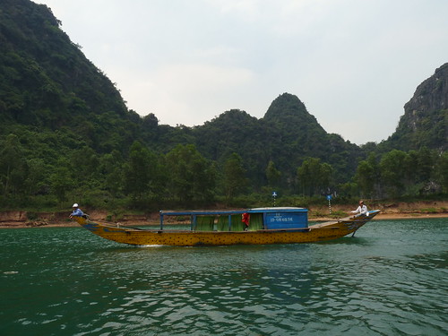
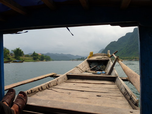
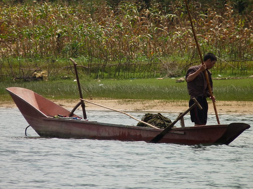
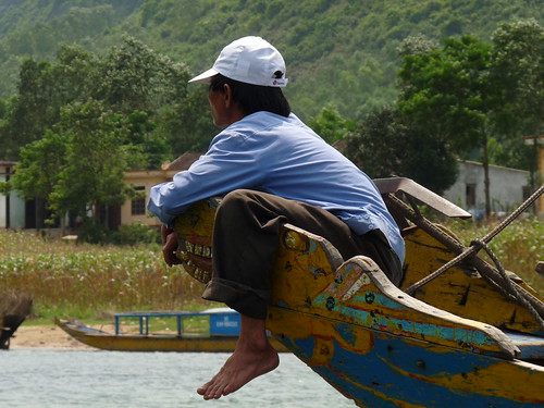
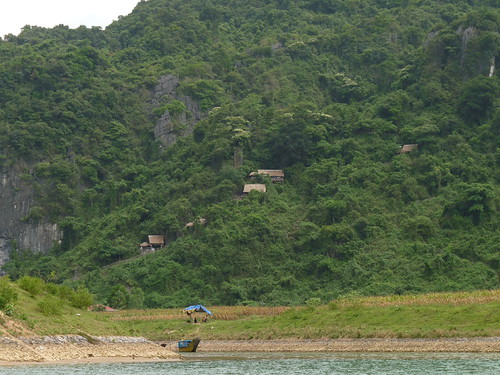
We checked into our hotel and after a spot of lunch walked down to the small jetty in the village. From here we took a boat ride along the river to Phong Nha Cave.
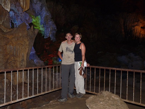
However, before visiting Phong Nha cave itself we got off the boat and climbed some 300 or steep steps up the side of the mountain. For someone who hasn’t done much exercise in 8 months, this was no mean feat, especially as it was really hot. Quy and Tam took off like whippits, but did at least let us have a drink and a rest halfway up.
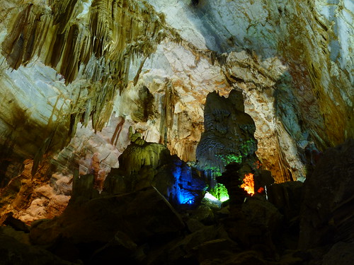
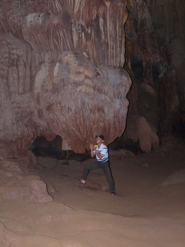
At the top of the steep climb, we arrived at Tien San cave. This is a dry cave in the mountainside. Inside are an impressive array of stalactites and stalagmites. Sometimes sympathetically lit, some times less so with strange pink and green lights. We wound our way around the various formations before arriving at a spectacular, cathedral-sized cave.
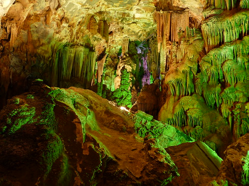
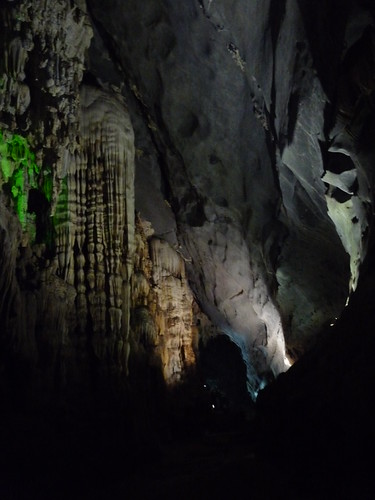
We made our way back down the steps (faster than we went up) and back to the boat. From here the boat was rowed into Phong Nha Cave. This is the largest cave in Vietnam and when we booked our tour with Quy, he assured us it was also the most beautiful. This was no exaggeration. An amazing, otherworldy place, where mystique is onlt enhanced by the deep dark waters beneath the wonderful formations.
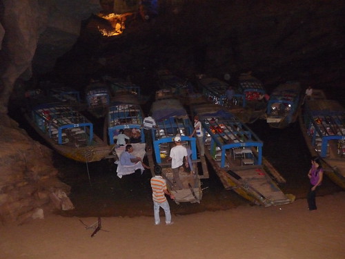
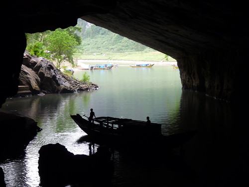
The cave is actually nearly 55km long, although only the first 1500m is open to visitors. During the war Ho Chi Minh and his government used the cave for planning. The boat took us to the area he used, which also happens to have been used by the Cham peoples, although no one is certain for exactly what purpose, but there is Cham writing on one of the walls. This wasn’t exactly the biggest cave and it was starting to fill with Vietnamese tourists, so we headed back to our boat for the trip back down the river.